

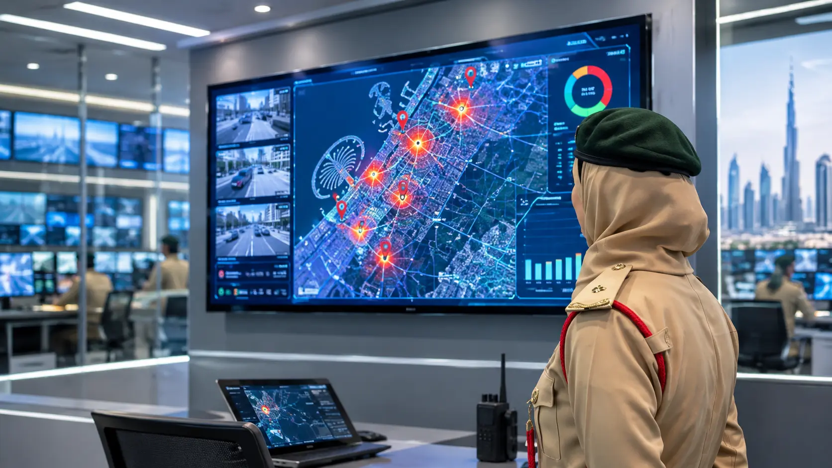
When you call for help in an emergency, every minute counts. Dubai Police has now shown how artificial intelligence can save some of those minutes. At the fifth World Police Summit 2026, held at the Dubai World Trade Centre, the force unveiled an AI-powered Smart Security Mapping Platform. It tracks emergencies, guides patrols along the fastest routes, and even helps spot crime hotspots.
A Live Demonstration at the Summit
This was not just a presentation on a slide. The Dubai Police operations teams gave a live demonstration of the system, and Lieutenant Hessa Al Muhairi showed how it works. The platform is connected directly to the operating rooms of Dubai Police. Visitors could watch incoming emergency reports appear in real time, which gave them a good idea of how quickly information moves.
The platform uses geographic information system technology from a global mapping company. The source did not name the company. It brings together live incident reports, AI-powered geographical analysis, and location data, so that police operators can see everything on one map.
How It Tracks Emergencies
Once a report comes in, the system pinpoints exactly where the incident is happening. Then it recommends the quickest route for the nearest patrol and suggests the best positions for patrol vehicles to take.
It can also suggest changes to patrol coverage areas. This part is very handy. If the patrol that should respond is busy with another incident, a neighbouring unit can step in. That means an area does not stay uncovered just because one team is occupied. In a big, busy city, this kind of quick shifting can make a real difference.
Supporting the Three Minute Goal
Dubai Police has a target to respond to emergencies within three minutes. The platform helps meet that goal by turning every live report into a fast patrol deployment. The AI finds the incident, sends officers to the area, and calculates the quickest route. The operator does not have to guess the best road, because the map does the heavy lifting.
Finding Crime Hotspots
The platform does more than react to emergencies. It also helps police look at the bigger picture. By studying patterns of repeated offences, it can point out crime hotspots. Police can then plan targeted preventive steps, such as extra patrols or checks in the places where problems keep happening.
To do this, the system uses about five years of operational data. That history helps police assess their performance, improve resource allocation, and monitor response times. In simple words, it shows what is working and where more help is needed.
Why This Matters to Residents
Most people will never see this system in action, and that is a good thing. It works in the background to get help to the right place faster. For families, workers and visitors, it adds one more layer of safety. It also lets the police use their officers more wisely, instead of spreading them out evenly and hoping for the best.
There is a wider message here too. Dubai keeps investing in technology to run the city better. The city is often named as one of the safest in the world for residents, and tools like this show part of the work behind that reputation. Smart planning, strong data, and fast teams all play a role.
What We Do Not Know Yet
The announcement did not say when the platform will be fully in use across the city, or how many patrols will be using it. It also did not share any numbers on how much faster responses have become. As more details come out, we may get a clearer view of the results.
Staying Safe Starts With Smart Choices
Safety is not only about police and technology. It also comes from the small decisions we make every day, including how we spend our money. Gold prices have been falling lately, and many shoppers are thinking about advance booking plans. Before you sign anything, read this helpful guide: Before you lock your gold rate in Dubai, ask your jeweller these 5 questions.
Dubai Police’s Smart Security Mapping Platform shows how AI can turn a stream of emergency calls into quick, clear action. It finds the incident, picks the fastest route, shifts patrols when needed, and learns from five years of data to prevent future problems. For a city that values safety highly, it is a practical step that could help officers reach people faster when it matters most.